
Airport type Public Elevation AMSL 20 ft / 6 m 2,700 823 Elevation 6 m Owner City of Eureka | Serves Eureka, California 16/34 2,700 823 Asphalt Phone +1 707-441-4186 | |
 | ||
Address 900 New Navy Base Rd, Eureka, CA 95501, USA | ||
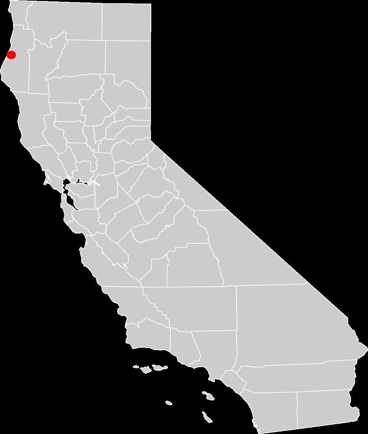
Samoa Field Airport formerly Eureka Municipal Airport (FAA LID: O33) is a city-owned, public airport 2 miles (3.2 km) west of Eureka, on the northern peninsula of Humboldt Bay in Humboldt County, California.
Contents
Facilities
The airport covers 657 acres (266 ha) and is about 20 feet (6.1 m) above sea level. Its one runway, 16/34, is 2,700 by 60 feet (823 by 18 m) and is paved with asphalt. Sixty percent of its flights are local and 40% are transient. In the year ending December 3, 2004 the airport had 5,000 aircraft operations, an average of 13 per day. Eighteen aircraft were then based at the airport: 89% single-engine and 11% ultralight. This airport is walking distance (950 feet (290 m)) to the Pacific Ocean. No services are offered and no businesses are near the airport. 15 city maintained hangars are available at the airport.