
Population 379 (2006 census) Elevation 160 m Local time Thursday 4:33 AM | Postcode(s) 2659 Postal code 2659 | |
 | ||
Location 478 km (297 mi) from Sydney20 km (12 mi) from Wagga Wagga9 km (6 mi) from Malebo6 km (4 mi) from Millwood Weather 15°C, Wind E at 10 km/h, 69% Humidity | ||
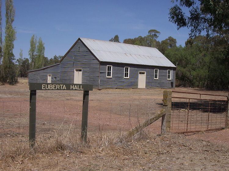
Euberta is a farming community in the central Riverina area of New South Wales. It is situated on the old Narrandera road with Millwood 6 kilometres to it west and Malebo 9 kilometres to its east. At the 2006 census, Euberta had a population of 379 people. The area is made up of rich pastoral close to the Murrumbidgee River giving graziers the ability to use central pivot and other irrigation systems to grow crops such as Lucerne.
Map of Euberta NSW 2650, Australia
References
Euberta, New South Wales Wikipedia(Text) CC BY-SA