
Country Zimbabwe Time zone CET (UTC+1) | District Umzingwane Local time Wednesday 12:40 AM | |
 | ||
Weather 19°C, Wind E at 16 km/h, 98% Humidity Province Matabeleland South Province | ||
Esigodini (officially known as Essexvale until 1982) is a village in Zimbabwe in Matabeleland South province. It is situated 43 km from Bulawayo by road and 47 km by rail on the Bulawayo-Beitbridge line. According to the 1982 Population Census, the village had a population of 1,492. Esigodini is the administrative centre for Umzingwane District. It was originally an estate of Frederick Selous.
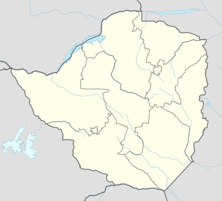
Map of Esigodini, Zimbabwe
Esigodini may mean "in the hollow" or valley in the local language IsiNdebele.
Nearby is Falcon College, a renowned secondary school for boys and Mzingwane High School, recently a well-performing government school. The village was founded in 1894 and is a trading centre for ranching and mixed farming around it; it is also close to Gold and Tungsten mines. Also, nearby is the Roman Catholic mission school formerly known as Sacred Heart Home. This school was founded and run by the Sisters Of The Precious Blood who fell under the Diocese Of Bulawayo and came mainly from Germany shortly after the second World War.