
Country United States Elevation 481 m Local time Tuesday 11:53 AM | GNIS feature ID 0472084 Area 93.08 km² Population 60 (2000) | |
 | ||
Weather 13°C, Wind W at 39 km/h, 16% Humidity | ||
Erving Township is a township in Jewell County, Kansas, USA. As of the 2000 census, its population was 60.
Contents
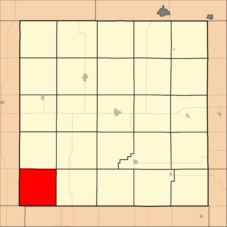
Map of Erving, KS, USA
History
Erving Township was organized in 1872. It was named for one Dr. Erving, an early settler and native of Hiawatha.
Geography
Erving Township covers an area of 35.94 square miles (93.1 square kilometers); of this, 0.03 square miles (0.07 square kilometers) or 0.08 percent is water.
Adjacent townships
Cemeteries
The township contains two cemeteries: Reformed and Rooker.
References
Erving Township, Jewell County, Kansas Wikipedia(Text) CC BY-SA