Elevation 457 m (1,499 ft) Time zone CET (UTC+1) Local time Tuesday 6:36 PM Dialling code 079 | Frazioni Sa Mela, Tettile Demonym(s) Erulesi Area 40.1 km² Postal code 07030 | |
 | ||
Weather 9°C, Wind W at 23 km/h, 62% Humidity | ||
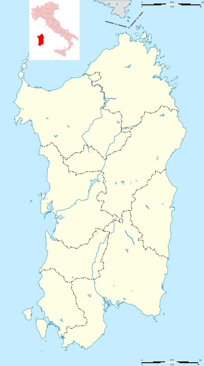
Erula (Gallurese: Èrula, Sardinian: Èrula) is a comune (municipality) in the Province of Sassari in the Italian region Sardinia, located about 180 kilometres (110 mi) north of Cagliari and about 35 kilometres (22 mi) east of Sassari. As of 31 December 2004, it had a population of 807 and an area of 40.1 square kilometres (15.5 sq mi).
Map of 07030 Erula Province of Sassari, Italy
The municipality of Erula contains the frazioni (subdivisions, mainly villages and hamlets) Sa Mela and Tettile.
Erula borders the following municipalities: Chiaramonti, Ozieri, Perfugas, Tempio Pausania, Tula.
References
Erula Wikipedia(Text) CC BY-SA
