
Ward 9 Local time Sunday 7:12 AM | Quadrant SW Established 1906 Population 1,234 (2012) | |
 | ||
Weather -17°C, Wind N at 5 km/h, 79% Humidity Restaurants Reader's Garden Cafe, Jugo Juice, Humpty’s | ||
Erlton is an inner city residential neighbourhood in the south-west quadrant of Calgary, Alberta. It is bounded by the Elbow River to the north and west, by Spiller Road to the east and by Mission Road to the south. Macleod Trail bisects the neighbourhood from north to south. The neighbourhood is represented by the Erlton Community Association.
Contents
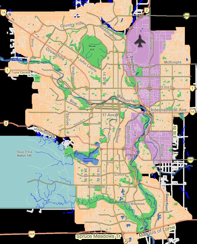
Map of Erlton, Calgary, AB, Canada
Erlton was established in 1906. It is represented in the Calgary City Council by the Ward 9 councillor.
The community is served by the Erlton/Stampede station of the C-Train LRT system. The Repsol Sports Centre and Lindsay Park border the community to the north, and the Stampede Grounds are located immediately north-west.
Demographics
In the City of Calgary's 2012 municipal census, Erlton had a population of 7003123400000000000♠1,234 living in 7002742000000000000♠742 dwellings, a 0.2% increase from its 2011 population of 7003123100000000000♠1,231. With a land area of 0.5 km2 (0.19 sq mi), it had a population density of 2,470/km2 (6,400/sq mi) in 2012.
Residents in this community had a median household income of $67,698 in 2000, and there were 20.8% low income residents living in the neighbourhood. As of 2000, 14.6% of the residents were immigrants. A proportion of 70.3% of the buildings were condominiums or apartments, and 42% of the housing was used for renting.