
Country United States Time zone CST (UTC-6) Elevation 159 m Population 2,217 (2010) | Established November 6, 1849 ZIP codes 60450, 61360 Area 55.76 km² Local time Saturday 11:29 PM | |
 | ||
Weather -3°C, Wind NE at 6 km/h, 37% Humidity | ||
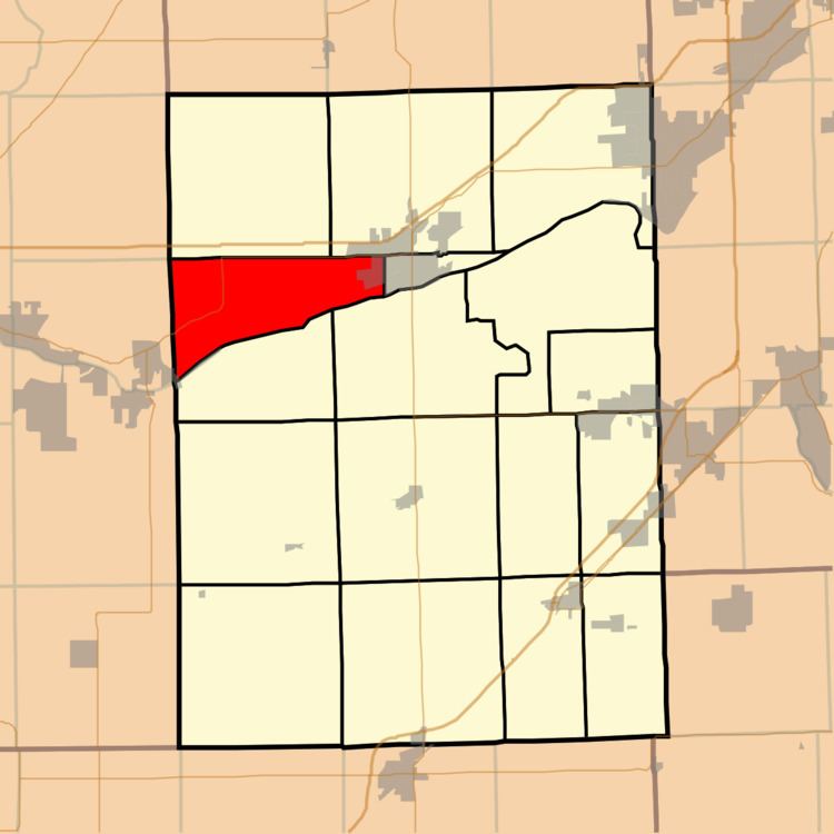
Erienna Township is one of seventeen townships in Grundy County, Illinois, USA. As of the 2010 census, its population was 2,217 and it contained 880 housing units.
Contents
- Map of Erienna Township IL USA
- Geography
- Cities towns villages
- Unincorporated towns
- Cemeteries
- Major highways
- Political districts
- References
Map of Erienna Township, IL, USA
Geography
According to the 2010 census, the township has a total area of 21.53 square miles (55.8 km2), of which 20.8 square miles (54 km2) (or 96.61%) is land and 0.73 square miles (1.9 km2) (or 3.39%) is water.
Cities, towns, villages
Unincorporated towns
(This list is based on USGS data and may include former settlements.)
Cemeteries
The township contains Mount Carmel Cemetery.
Major highways
Political districts
References
Erienna Township, Grundy County, Illinois Wikipedia(Text) CC BY-SA