
 | ||
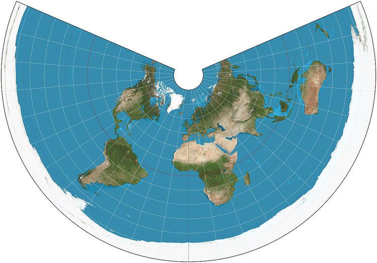
The equidistant conic projection is a conic map projection known since Classical times, Ptolemy's first projection being derived from it.
The projection has the useful property that distances along the meridians are proportionately correct, and distances are also correct along two standard parallels that the mapmaker has chosen. The two standard parallels are also free of distortion.
The map projection is used most often in maps of regions elongated east-to-west (such as the continental United States), with the standard parallels chosen to be about a sixth of the way inside the northern and southern limits of interest. This way distortion is minimized throughout the region of interest.
References
Equidistant conic projection Wikipedia(Text) CC BY-SA