
Country United States GNIS feature ID 0766353 Area 139.4 km² Population 2,598 (2000) | FIPS code 29-22492 Elevation 159 m Local time Saturday 12:29 PM | |
 | ||
Weather 2°C, Wind NE at 16 km/h, 74% Humidity | ||
Epps Township is one of ten townships in Butler County, Missouri, USA. As of the 2000 census, its population was 2,598.
Contents
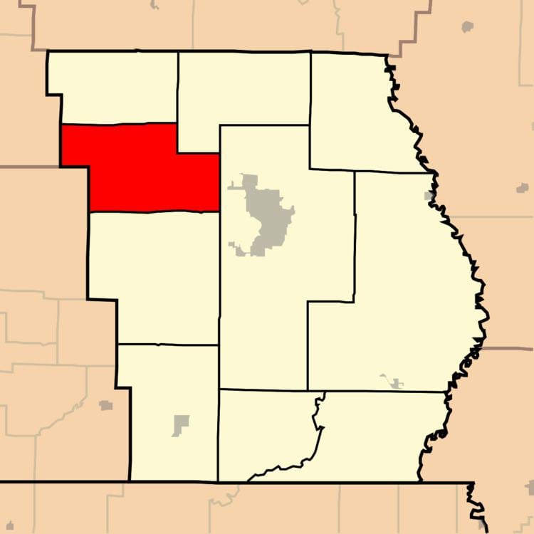
Map of Epps Township, MO 63901, USA
Epps Township was established in 1850, and named after Obadiah Epps, an early settler.
Geography
Epps Township covers an area of 53.84 square miles (139.4 km2) and contains no incorporated settlements. It contains three cemeteries: Houts, Kearbey and Sparkman.
The streams of Beehole Branch, Camp Branch, Crooked Branch, Goose Creek, Harmon Branch, Hurricane Creek and Procter Branch run through this township.
References
Epps Township, Butler County, Missouri Wikipedia(Text) CC BY-SA