
OS grid reference TA014319 Sovereign state United Kingdom Postcode district HU16 Dialling code 01482 | Post town COTTINGHAM Local time Saturday 6:27 PM | |
 | ||
Weather 12°C, Wind SE at 8 km/h, 90% Humidity | ||
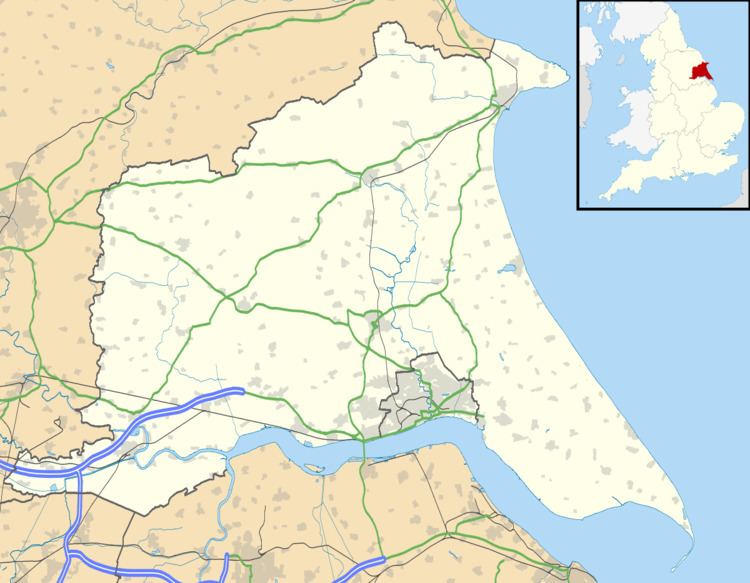
Eppleworth is a hamlet in the East Riding of Yorkshire, England. It is situated on Westfields Road and lies 1 mile (1.6 km) to the south of Skidby and 2 miles (3.2 km) to the west of Cottingham. Further west along Westfields Road lies Raywell.
Map of Eppleworth, Cottingham, UK
Eppleworth forms part of the civil parish of Skidby.
In 1823 Baine's History, Directory and Gazetteer of the County of York gave Eppleworth's name as 'Epplewith'. At the time it was in the parish of Skidby and the Wapentake of Harthill. Recorded in the hamlet were a farmer and a yeoman.
References
Eppleworth Wikipedia(Text) CC BY-SA