
Country United States GNIS feature ID 2584095 Area 3.78 km² Population 107 (2010) | Time zone Mountain (MST) (UTC-7) Elevation 2,298 m Zip code 87575 Area code 505 | |
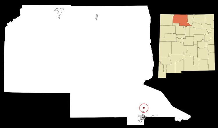 | ||
Ensenada is a census-designated place (CDP) in Rio Arriba County, New Mexico, United States. The population was 107 at the 2010 census.
Contents
Map of Ensenada, NM 87551, USA
Geography
According to the United States Census Bureau, the CDP has a total area of 1.46 square miles (3.8 km2), all of it land.
Demographics
As of the census of 2010, there were 107 people, 42 households, and 30 families residing in the CDP. The population density was 73.3 people per square mile (28.3/km²). There were 54 housing units at an average density of 37.0 per square mile (14.3/km²). The racial makeup of the CDP was 72.0% White, 0% African American, 2.8% Native American, 0% Asian, 21.5% from other races, and 3.7% from two or more races. Hispanic or Latino of any race were 88.8% of the population.
There were 42 households out of which 33.3% had children under the age of 18 living with them, 45.2% were married couples living together, 16.7% had a female householder with no husband present, and 28.6% were non-families. 26.2% of all households were made up of individuals and 9.5% had someone living alone who was 65 years of age or older. The average household size was 2.55 and the average family size was 2.97.
Climate
This climatic region is typified by large seasonal temperature differences, with warm to hot (and often humid) summers and cold (sometimes severely cold) winters. According to the Köppen Climate Classification system, Ensenada has a humid continental climate, abbreviated "Dfb" on climate maps.