Highest point Trohornet Area 69 km² | Highest elevation 649 m (2,129 ft) Municipality Steigen | |
 | ||
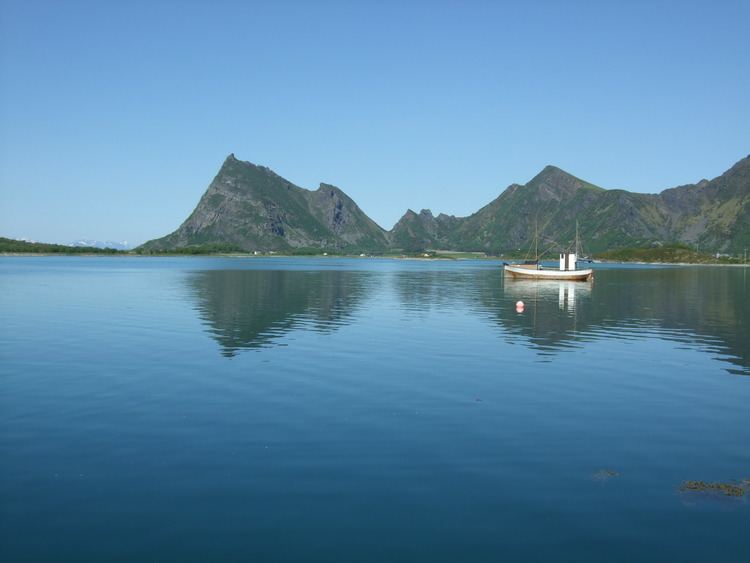
Engeløya is an island in the northern part of the municipality of Steigen in Nordland county, Norway. The island has an area of 69 square kilometres (27 sq mi). The highest point on the island is the 649-metre (2,129 ft) Trohornet mountain. The rocky, mountainous island has grassy slopes that are fertile and it has some of the better farmland in the municipality.
Map of Engel%C3%B8ya, 8289 V%C3%A5g, Norway
Engeløya is connected to the mainland by the Engeløy Bridges. The Engeløy Airport, Grådussan is located on the northwestern tip of the island. Steigen Church is located on the southwestern side of the island.
The name Engeløya translates as "Angel Island" in English.
References
Engeløya Wikipedia(Text) CC BY-SA
