
Country Sweden Time zone CET (UTC+1) Population 348 (2014) | Municipality Gotland Municipality Area 23.69 km² | |
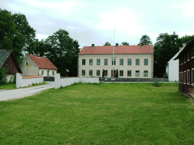 | ||
Endre is a settlement on the Swedish island of Gotland. Formerly a socken, on 1 January 2016, it was reconstituted into the administrative area Endre District.
Contents
Map of 621 77 Endre, Sweden
Geography
Endre is situated in the central part of Gotland, just east of Visby. The medieval Endre Church is located in the socken.
The Ölbäck (litt. "Beer stream") nature reserve is in Endre. The 99 ha (240 acres) reserve was designated a Natura 2000 area in 2004. It is named after the now razed Ölbäck Inn, a tavern located about 2.8 km (1.7 mi) from Visby, where peasants and traders used to stop on their way from market. In the north part of the reserve is a stone cross, erected to memorate the place where a preist, Mr Jörgen, is said to have been killed by an eagle as he was riding home to Endre in 1336.