
Country Canada Time zone MST (UTC-7) Elevation 810 m | Area 187 km² Local time Friday 4:00 AM | |
 | ||
Weather -17°C, Wind E at 14 km/h, 88% Humidity | ||
Enchanted koda the lazy dog enchant alberta
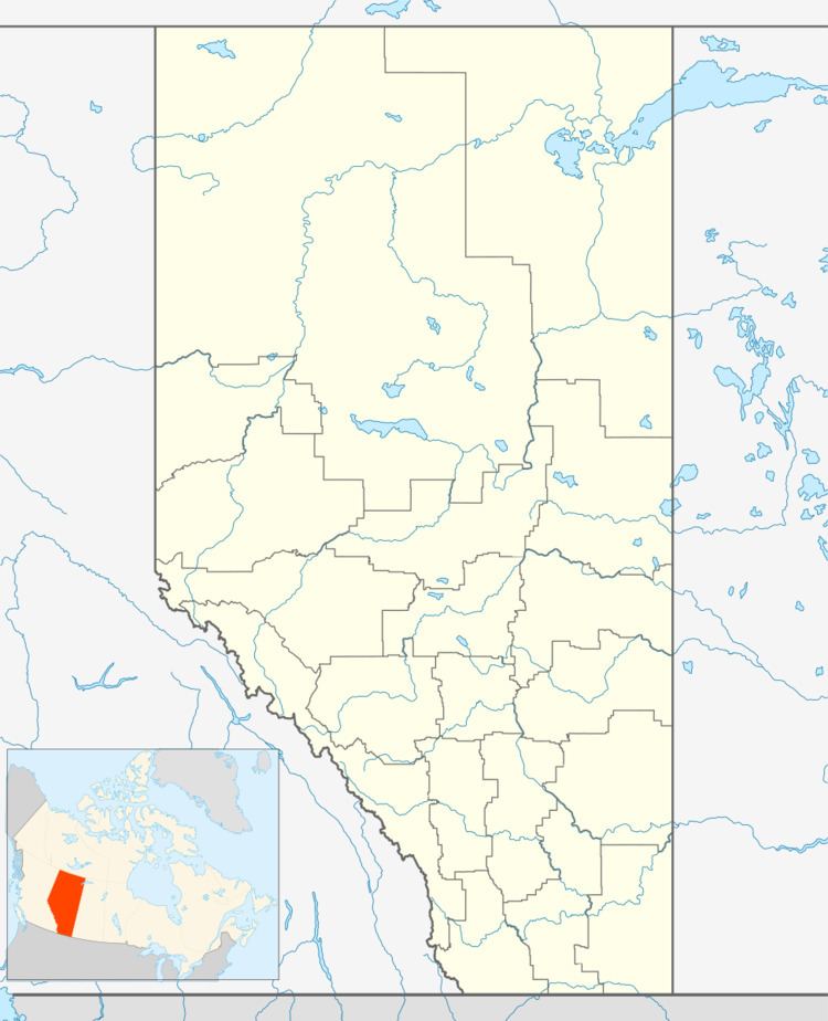
Enchant is a hamlet in southern Alberta, Canada within the Municipal District of Taber. It is located on Highway 526 and the Canadian Pacific Railway, between Vauxhall and Lomond. It has an elevation of 810 metres (2,660 ft).
Contents
Map of Enchant, AB, Canada
The hamlet is located in census division No. 2 and in the federal riding of Medicine Hat.
Enchant was once incorporated as a village but was dissolved from village status on February 1, 1945. The railroad arrived in 1914 and the first grain elevator was completed in 1915.
Demographics
The Municipal District of Taber's 2016 municipal census counted a population of 259 in Enchant, a 2998896000000000000♠−10.4% change from the hamlet's 2013 municipal census population of 289.
References
Enchant, Alberta Wikipedia(Text) CC BY-SA