
Country United States County Maricopa Area 20.7 km² University Phoenix College | State Arizona City Phoenix Population 54,614 (2010) | |
 | ||
Website Encanto Village Planning Committee Points of interest Heard Museum, Encanto Park Restaurants Barrio Cafe, Taco Guild Gastropub, Durant's, Gadzooks Enchiladas and Soup, Lux Central Hotels The Clarendon Hotel and, Wyndham Garden Phoenix, Hilton Phoenix Suites, Fairfield Inn & Suites by, Hampton Inn Phoenix | ||
Encanto Village is one of the 15 Urban villages that make up the City of Phoenix, in Arizona. The village includes the city's midtown and uptown districts, as well as the popular Encanto neighborhood, its namesake. In 2010, Encanto had a population of 54,614 residents.
Contents
Map of Encanto Village, Phoenix, AZ, USA
Geography
The community is located in Central Phoenix. At about 8 square miles, it is the city's smallest urban village by area, and, consequently, one of its densest.
The western border of the village is the I-17 Black Canyon Freeway, and the southern border is McDowell Road. The Grand Canal makes up the northern and eastern border.
Features
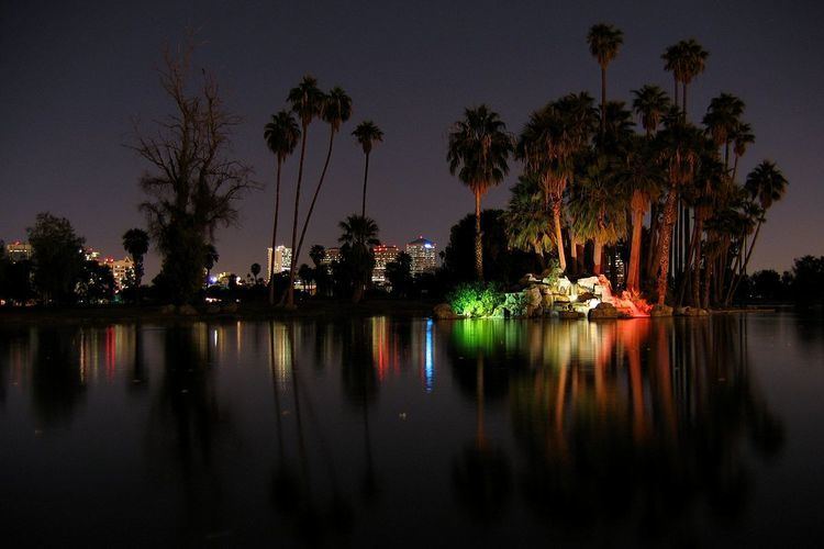
The core of the Encanto Village is the Park Central Mall; and the Arizona State Fair, on whose fairgrounds the Arizona Veterans Memorial Coliseum is located. It was the original home of the Phoenix Suns, the city's NBA franchise. Other points of interest include Encanto Park, Steele Indian School Park, and Phoenix College.
The village includes the city's Midtown and Uptown districts, which, combined with nearby Downtown, make up the largest center of employment in the state of Arizona.