Population Uninhabited | ||
 | ||
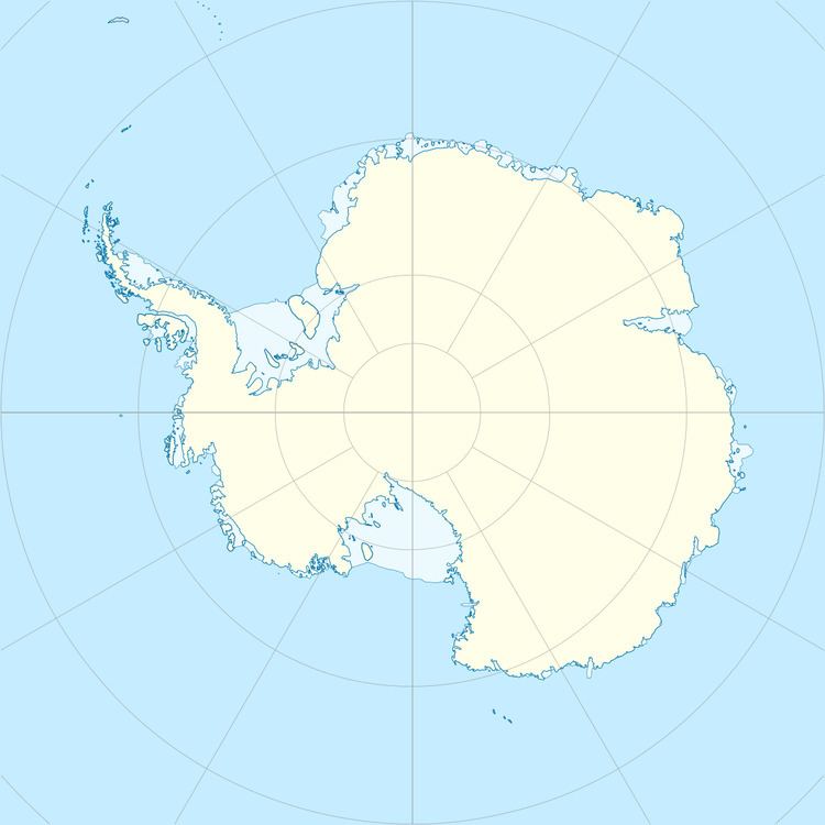
Empereur Island is a rocky island 1.9 kilometres (1 nmi) north of Cape Margerie, lying immediately north of Breton Island in the entrance to Port Martin. It was photographed from the air by U.S. Navy Operation Highjump, 1946–47. It was charted by the French Antarctic Expedition under Andre-Frank Liotard, 1949–51, and so named because the first emperor penguin captured by the expedition was taken on this island.
References
Empereur Island Wikipedia(Text) CC BY-SA
