Date created 1991 Time zone WAT (UTC+1) | Seat Emohua Town Local time Friday 5:48 AM | |
 | ||
Weather 20°C, Wind S at 6 km/h, 95% Humidity | ||
Emohua is a Local Government Area in Rivers State, Nigeria. Its headquarters are in the town of Emohua.
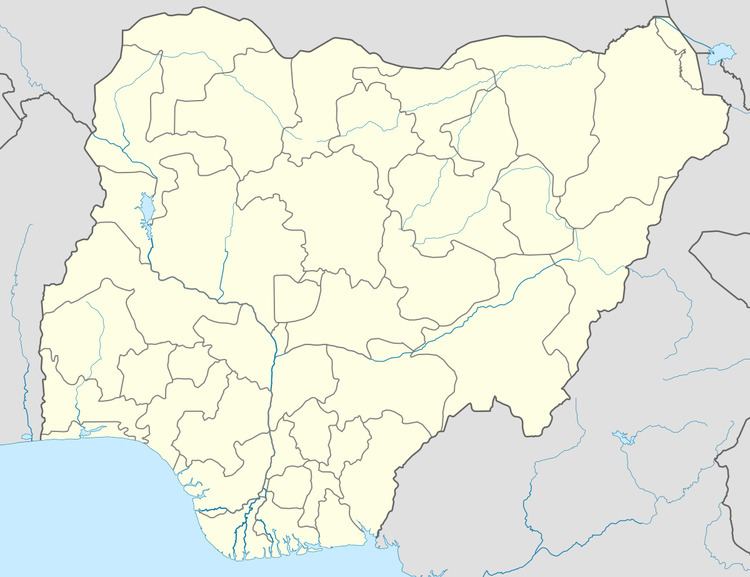
Map of Emohua, Nigeria
Emohua consists of fourteen political wards and the predominant occupation is farming.
It has an area of 831 km2 (321 sq mi) and a population of 201,901 at the 2006 census.
The postal code of the area is 511.
References
Emohua Wikipedia(Text) CC BY-SA
