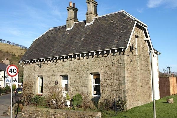
OS grid reference NY163301 Sovereign state United Kingdom | Civil parish Embleton Dialling code 017687 | |
 | ||
Population 294 (2011 including Wythop) | ||
Embleton is a small village and civil parish in the Allerdale district in Cumbria, England. It is located east of Cockermouth on the A66 road, and within the boundaries of the Lake District National Park. As of the 2001 census the parish had a population of 297, reducing slightly to 294 at the 2011 Census.
Map of Embleton, Cockermouth, UK
Embleton railway station opened in 1865, on the Cockermouth, Keswick and Penrith Railway, and was closed by British Rail in 1958 although the railway through the village survived until 1966. The trackbed has now been used for the route of the A66 road.
Sometime around 1854 a schoolmaster digging in commonland at Embleton came across a hoard of weapons dating to the first century AD, the transition between the Late Iron Age and Early Roman period. It comprised three iron spearheads and two swords, one of which was in a decorated copper-alloy scabbard. The latter object can now be seen in the British Museum
