
Listing Country high point Elevation 3,018 m | ||
 | ||
Similar Jalua Volcano, Mousa Ali, Alid Volcano, Mont Sokbaro, Ethiopian Highlands | ||
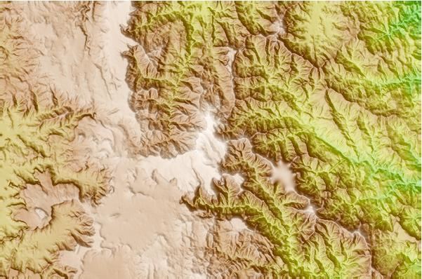
Emba Soira (also transliterated Sowera) is the highest mountain in Eritrea. Rising 3,018 metres (9,902 ft) above sea level, it is part of the Eritrean Highlands, one side of the Great Rift Valley which cuts through Eritrea and joins the Red Sea. The mountain is situated in the southeastern part of the Debub (Southern) administrative region in central Eritrea.
Map of Emba Soira, Eritrea
Emba Soira is reached by a paved road from the city of Senafe, located 135 kilometres south of the national capital Asmara. From there, a very difficult and perilous dirt track heading east for almost 20 kilometres leads to the mountain. The last part must be trekked and takes at least a few hours of travel.
References
Emba Soira Wikipedia(Text) CC BY-SA