
Country Canada Settled 1909 - 1912 Time zone CST (UTC-6) Elevation 624 m Local time Thursday 8:33 AM Area code 306 | Rural Municipalities (R.M.) R.M. of Monet 257 Incorporated (town) 1913. Postal code S0L 0Z0 Population 496 (2016) Province Saskatchewan | |
 | ||
Weather -20°C, Wind NE at 16 km/h, 81% Humidity | ||
Elrose is a town situated south of Rosetown and north of Swift Current on Highway 4 and Highway 44. A community in the middle of an agricultural economy, Elrose has also become a local hub of activity in the oil industry .
Contents
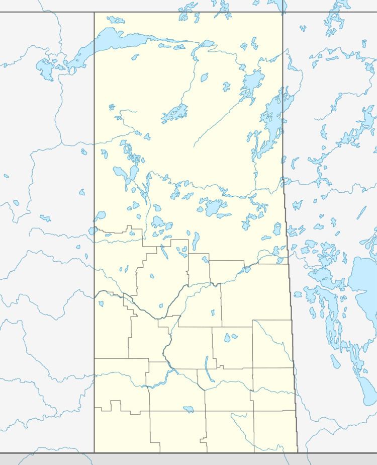
- Map of Elrose SK Canada
- History
- Demographics
- Government
- Education
- Recreational Parks
- Library
- Newspapers
- Transportation
- References
Map of Elrose, SK, Canada
History
Some homesteaders and other settlers were established in the area before the arrival of the railroads, but the majority of newcomers arrived by rail later. In 1909, the Rural Municipality Monet 257, Saskatchewan was organized. It was named after a local farmer, Fortunat Monet (pronounced Monette). The town was originally called LaBerge after local landowner Albert LaBerge. After the railway arrived in 1913, the countryside quickly filled with people and a meeting was called to discuss a permanent name for the town. Elrose was chosen, although the origin of this name is unclear for certain.
Elrose incorporated as a village in 1914. Schools and grain elevators were built, the town grew as more people arrived, and prairie sod was turned under to sow crops. The newly tilled land was rich, agriculture was profitable, and communities thrived. During the 60s and 70s smaller villages in the area (Hughton, Wartime, Forgan, Greenan) began to decline and their populations migrated to Elrose.
In 1974 the Elrose rink burned to the ground, leading to the construction of the Uniplex Recreation Centre. It houses a skating rink, curling rink, and olympic sized indoor swimming pool. This has become the centre for social activities. The Town of Elrose continues to move forward with the times, and although the glory days of the 60s and 70s have passed, new prosperity appears as the local oilpatch is growing significantly. The agriculture industry is thriving as well, also contributing to the growth in population as of late.
Demographics
Government
Elrose is part of the Cypress Hills—Grasslands Federal Riding with David Anderson as the federal Member of Parliament representing this town in Ottawa. Elrose belongs to the provincial constituency Rosetown-Elrose, with the elected Member of the Legislative Assembly Jim Reiter who represents this town in Regina. The town of Elrose has its municipal affairs looked after by Elrose Town Council, currently headed by Mayor Denis Dixon
Education
Elrose Composite School provides both primary and secondary for Elrose and surrounding rural areas. Elrose Composite School is part of the Sun West School Division which provides education to the west-central part of Saskatchewan, one of the largest school divisions in the area.
Recreational Parks
Library
Newspapers
Transportation
Previous to the building of railroads, many travelers through the area followed the Battleford Trail. This winding cart trail connected Fort Battleford on the North Saskatchewan River with the Saskatchewan Landing, a natural crossing on the South Saskatchewan River. Both Highway 4 and Highway 44 serve vehicular traffic to and from Elrose.