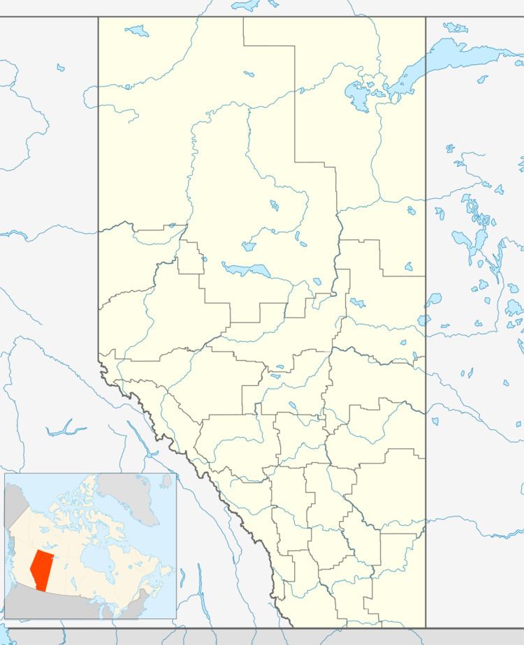
Country Canada Census division 8 Time zone MST (UTC−7) Elevation 935 m Area code 403 Local time Thursday 6:34 AM | Highways Highway 21 Population 298 (2016) Province Alberta | |
 | ||
Weather -24°C, Wind N at 5 km/h, 86% Humidity | ||
Elnora /ɛlˈnɔːrə/ is a village in central Alberta, Canada north of Three Hills. It was first organized as a village on January 2, 1908 as "Stewartville" but was renamed to Elnora (for Elinor & Nora, the wives of the postmasters) when the opening of a post office the next year required a unique name.
Contents
Map of Elnora, AB, Canada
Demographics
In the 2016 Census of Population conducted by Statistics Canada, the Village of Elnora recorded a population of 298 living in 144 of its 160 total private dwellings, a 2999520000000000000♠−4.8% change from its 2011 population of 313. With a land area of 1.47 km2 (0.57 sq mi), it had a population density of 202.7/km2 (525.0/sq mi) in 2016.
In the 2011 Census, the Village of Elnora had a population of 313 living in 139 of its 151 total dwellings, an 11.8% change from its 2006 adjusted population of 280. With a land area of 1.48 km2 (0.57 sq mi), it had a population density of 211.5/km2 (547.7/sq mi) in 2011.
The population of the Village of Elnora according to its 2011 municipal census is 320, a 3.2% increase from its 2010 municipal census population of 310.
In 2006, Elnora had a population of 275 living in 127 dwellings, a 5.2% decrease from 2001. The village has a land area of 0.69 km2 (0.27 sq mi) and a population density of 401.2/km2 (1,039/sq mi).
