
OS grid reference TQ425705 Sovereign state United Kingdom Dialling code 020 | Postcode district BR7 | |
 | ||
Elmstead is a residential district in south east London, England within the London Borough of Bromley. It is located north east of Bromley.
Contents
Map of Elmstead, Chislehurst, UK
Toponomy
The name is recorded in 1320 as Elmsted and means 'place where elm trees grow'. The name was shared with Elmstead Place mansion and the woodland of Elmstead Wood. After the local railway station opened it took the name Elmstead Woods.
Geography
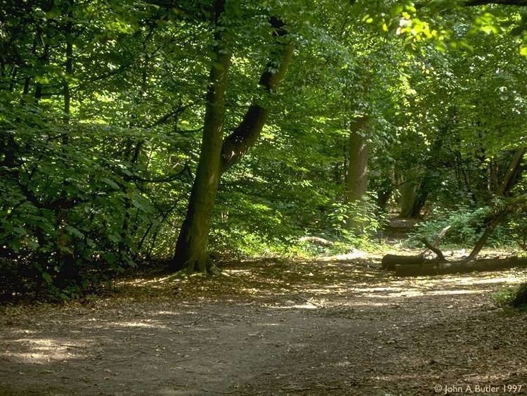
Elmstead Wood has public access from Elmstead Lane and other locations. It lies on the Green Chain walk. It is adjacent to Sundridge Park Golf Club.
Elmstead Pit, opposite the railway station, is a geological Site of Special Scientific Interest which has important fossils from the Eocene epoch 50 million years ago.
Nearby areas
Transport
Elmstead Woods railway station serves the area with services to London Charing Cross, Orpington and Sevenoaks. Transport for London bus 314 connects the area with Eltham via New Eltham and to New Addington via Bromley and Hayes.
Sport
Elmstead has a senior football club, F.C. Elmstead, who play at Oakley Road in Bromley.