
Country United States County Adair FIPS code 40-23575 Elevation 320 m Population 198 (2010) | Time zone Central (CST) (UTC-6) GNIS feature ID 2584379 Area 4.3 km² | |
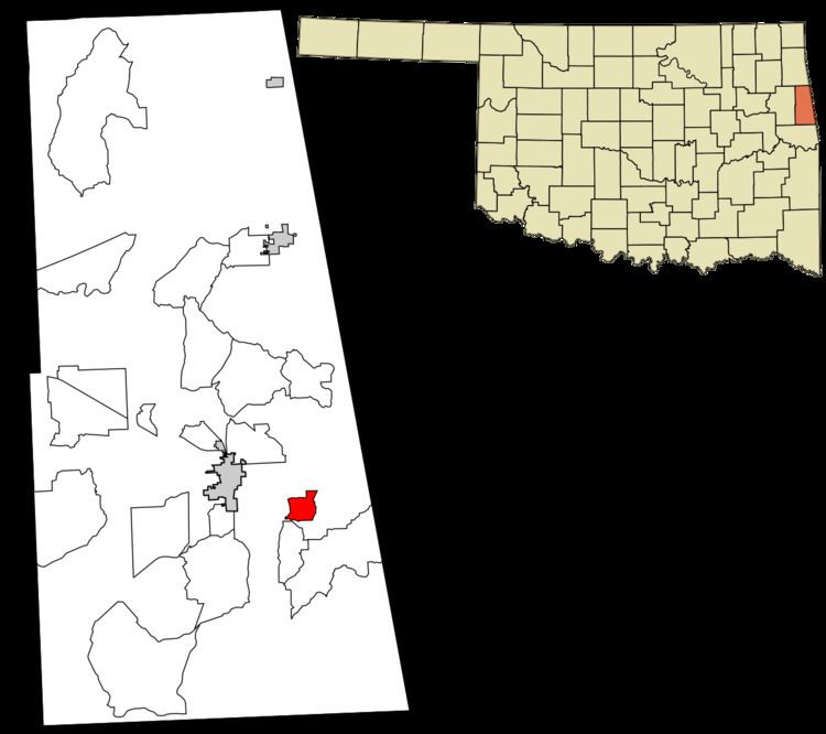 | ||
Elm Grove is a census-designated place (CDP) in Adair County, Oklahoma, United States. The population was 198 at the 2010 census.
Geography
Elm Grove is located at 35°47′40″N 94°33′34″W, along Oklahoma State Highway 100. It is 4 miles (6 km) east of Stilwell, the county seat, and 3 miles (5 km) west of the Arkansas border.
According to the United States Census Bureau, the CDP has a total area of 1.7 square miles (4.3 km2), of which 0.0039 square miles (0.01 km2), or 0.25%, is water.
References
Elm Grove, Oklahoma Wikipedia(Text) CC BY-SA