
Country United States Time zone CST (UTC-6) Elevation 220 m Local time Thursday 4:00 AM | Established November 6, 1849 ZIP codes 62301, 62338, 62359 Area 88.8 km² Population 2,855 (2010) | |
 | ||
Weather 6°C, Wind E at 14 km/h, 39% Humidity | ||
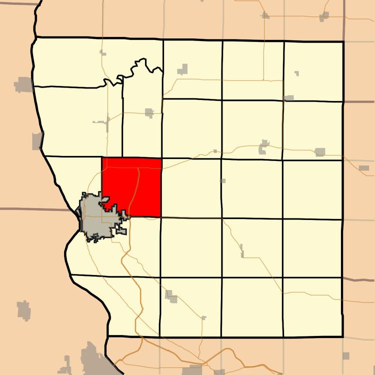
Ellington Township is one of twenty-two townships in Adams County, Illinois, United States. As of the 2010 census, its population was 2,855 and it contained 1,097 housing units. The southwest corner of the township is now part of Quincy Township.
Contents
- Map of Ellington Township IL USA
- Geography
- Unincorporated towns
- Cemeteries
- Major highways
- Airports and landing strips
- School districts
- Political districts
- References
Map of Ellington Township, IL, USA
Geography
According to the 2010 census, the township has a total area of 34.3 square miles (89 km2), of which 34.27 square miles (88.8 km2) (or 99.91%) is land and 0.03 square miles (0.078 km2) (or 0.09%) is water.
Unincorporated towns
(This list is based on USGS data and may include former settlements.)
Cemeteries
The township contains five cemeteries: Ellington Church, Kemp, Laughlin, Powell and Voorhees.
Major highways
Airports and landing strips
School districts
Political districts
References
Ellington Township, Adams County, Illinois Wikipedia(Text) CC BY-SA