Counties El Paso Area 28.2 km² Local time Thursday 2:47 AM Number of airports 1 | Time zone MST (UTC-7) Elevation 1,835 m Population 1,131 (2010) Area code 719 | |
 | ||
Weather 3°C, Wind SE at 10 km/h, 33% Humidity | ||
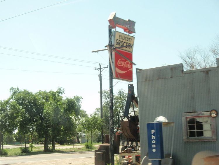
Ellicott is a census-designated place located in El Paso County, Colorado. The population as of the 2010 Census was 1,131. The U.S. Post Office at Calhan (ZIP Code 80808) now serves the Ellicott postal address.
Contents
Map of Ellicott, CO 80808, USA
Students are served by the Ellicott School District 22.
Geography
Ellicott is located at 38°50′18″N 104°23′13″W, at the intersection of State Highway 94 and the Ellicott Highway.
References
Ellicott, Colorado Wikipedia(Text) CC BY-SA
