
OS grid reference SJ715258 Post town NEWPORT Local time Thursday 9:31 AM | Sovereign state United Kingdom Postcode district TF10 Dialling code 01952 | |
 | ||
Weather 10°C, Wind W at 21 km/h, 81% Humidity | ||
Ellerton is a small hamlet in Shropshire, England. It lies in a rather isolated rural area several miles north of the town of Newport, close to the village of Sambrook, and is part of the civil parish of Cheswardine. Its name may be derived from the Old English alor (alder), and tun (farm or enclosure); "the farm at the alder tree".
Map of Ellerton, Newport, UK
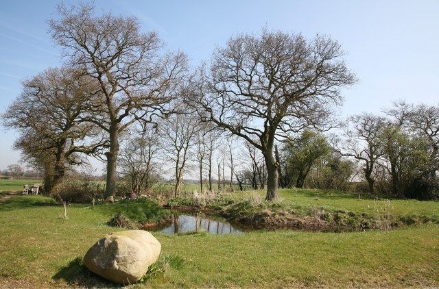
The hamlet is clustered around Ellerton Hall, an early 19th-century manor built on the site of an earlier house. Next to the road is a large millpond fed by the Goldstone Brook, with a derelict waterwheel. King Charles I was supposed to have drunk from a well here, later known as the King's Well. The well is still located by the side of a lane to the east of Ellerton hamlet, near the Kingswell Cottages.
References
Ellerton, Shropshire Wikipedia(Text) CC BY-SA