
OS grid reference SE704398 Sovereign state United Kingdom Postcode district YO42 Dialling code 01757 | Post town YORK Local time Thursday 9:31 AM | |
 | ||
Weather 10°C, Wind W at 29 km/h, 65% Humidity | ||
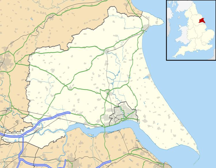
Ellerton is a village in the East Riding of Yorkshire, England. It is situated approximately 8 miles (13 km) north-west of the market town of Howden and 8 miles south-west of the market town of Pocklington. It lies west of the B1228 road and east of the River Derwent.
Map of Ellerton, York, UK
Together with Aughton it forms the civil parish of Ellerton and Aughton.
A priory of canons of the Gilbertine Order existed at Ellerton: founded before 1212, and relinquished on 11 December 1536 under the Suppression of the Monasteries. In 1823 Ellerton, was in the Wapentake of Harthill, and contained a Methodist chapel and a chapel dedicated to St Mary. The village had a population of 318, with occupations including ten farmers, a corn miller, a tailor, and a shopkeeper. A shoemaker was also a licensed victualler of The Board public house. Also directory-listed was a school master, a gentleman and a vicar. Once a week a carrier operated between the village and York.
The parish church of St Mary, by architect John Loughborough Pearson, was designated a Grade II listed building in December 1966 and is now recorded in the National Heritage List for England, maintained by Historic England.