
Country United States Elevation 272 m Local time Thursday 2:45 AM | GNIS feature ID 0453276 Area 93 km² Population 2,065 (2010) | |
 | ||
ZIP codes 46571, 46767, 46784, 46794 Weather 4°C, Wind NW at 13 km/h, 45% Humidity | ||
Elkhart Township is one of thirteen townships in Noble County, Indiana, United States. As of the 2010 census, its population was 2,065 and it contained 826 housing units.
Contents
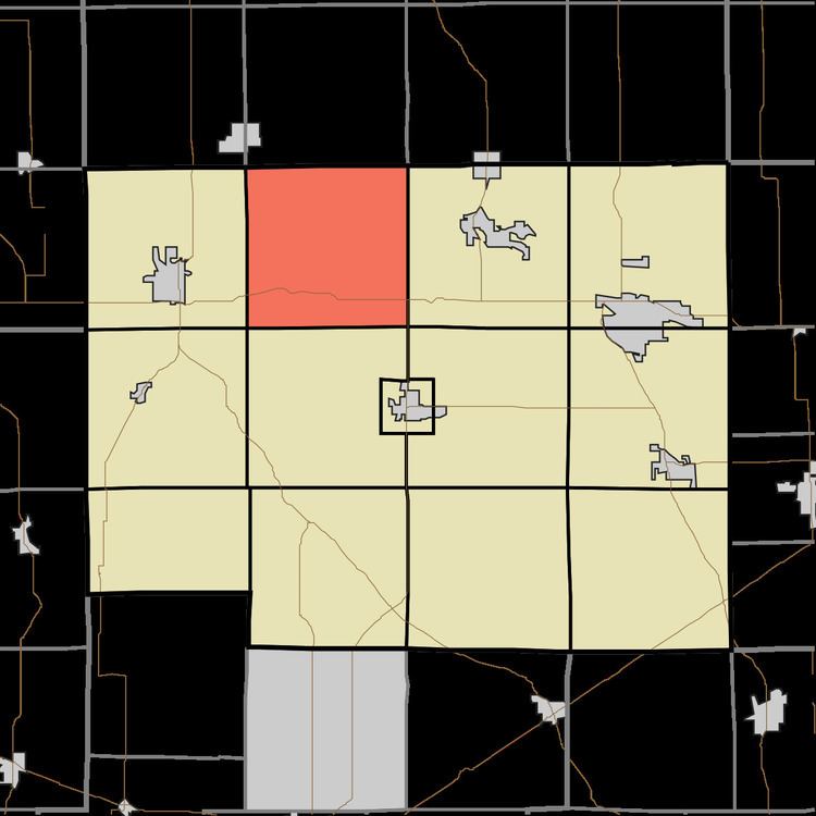
- Map of Elkhart Township IN USA
- Geography
- Unincorporated towns
- Cemeteries
- Major highways
- Lakes
- School districts
- Political districts
- References
Map of Elkhart Township, IN, USA
Geography
According to the 2010 census, the township has a total area of 35.9 square miles (93 km2), of which 35.38 square miles (91.6 km2) (or 98.55%) is land and 0.52 square miles (1.3 km2) (or 1.45%) is water.
Unincorporated towns
Cemeteries
The township contains Lower Cemetery.
Major highways
Lakes
School districts
Political districts
References
Elkhart Township, Noble County, Indiana Wikipedia(Text) CC BY-SA