
County Hamilton FIPS code 39-24850 Elevation 150 m Population 350 (2010) | State Ohio Time zone Eastern (EST) (UTC-5) GNIS feature ID 1056275 Area 230 ha | |
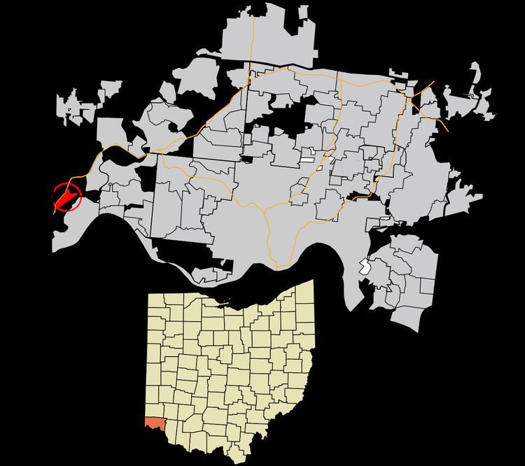 | ||
Elizabethtown is a census-designated place (CDP) in Whitewater Township, Hamilton County, Ohio, United States. The population was 350 at the 2010 census.
Contents
Map of Elizabethtown, OH 45052, USA
History
Elizabethtown was platted in 1817 by Isaac Mills, and named for his wife. It was a depot on the Cleveland, Cincinnati, Chicago and St. Louis Railway. In 1894, Elizabethtown was described as having three stores, two churches and a grain elevator.
Geography
Elizabethtown is located at 39°9′30″N 84°48′16″W, in the valley of the Great Miami River, 20 miles (32 km) west of downtown Cincinnati. U.S. Route 50 runs through the center of the community, and Interstate 275 passes it to the northwest but does not provide direct access to it.
According to the United States Census Bureau, the CDP has a total area of 0.89 square miles (2.3 km2), all land.