
Population 3,589 (2011 census) Postcode(s) 5112 Elizabeth Vale Hillbank Postal code 5112 | Established 1955 State electorate(s) Little Para Founded 1955 Federal division Division of Wakefield | |
 | ||
LGA(s) City of Playford
City of Salisbury | ||
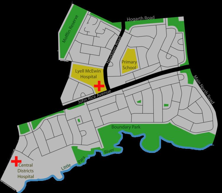
Elizabeth Vale is a suburb in the northern extent of Adelaide, South Australia. It was established in 1955. Its main roads are Main North Road to the east and John Rice Avenue which bisects the suburb. The southern boundary is the northern bank of the Little Para River.
Contents
Map of Elizabeth Vale SA 5112, Australia
Elizabeth Vale has two hospitals, the Lyell McEwin Hospital, a public teaching hospital, and the private Central Districts Hospital.
Demographics
The 2006 Census by the Australian Bureau of Statistics counted 3,667 persons in the suburb of Elizabeth Vale on census night. Of these, 1,766 (48.2%) were male and 1,901 (51.8%) were female.
The majority of residents 2,268 (61.7%) were Australian born, with 598 (16.3%) born in England.
The age distribution of Elizabeth Vale residents is similar to that of the greater Australian population. 69.8% of residents were aged 25 or over in 2006, compared to the Australian average of 66.5%; and 30.3% were younger than 25 years, compared to the Australian average of 33.5%.