
Postcode(s) 5112 State electorate(s) Little Para Federal division Division of Wakefield | LGA(s) City of Playford Postal code 5112 | |
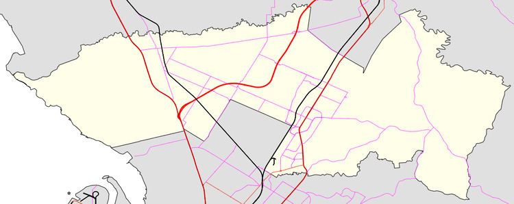 | ||
Elizabeth South is a northern suburb of Adelaide, South Australia in the City of Playford. It is one of the earlier suburbs of the satellite city of Elizabeth created in the 1950s.
Map of Elizabeth South SA 5112, Australia
The western boundary is the Gawler railway line, with predominantly current and former Defence land on the other side, including the South Australian branch of the Defence Science and Technology Organisation opposite Elizabeth South railway station. The suburb is situated on both sides of Philip Highway. The northern part of the suburb (north of Hogarth Road) is a residential suburb, with corresponding schools, shops and other community services. South of Hogarth Road, the suburb is industrial, including automotive and Defence manufacturing dominated by the large Holden factory, which opened in 1960 and is scheduled to close in 2017.