
- elevation 580 m (1,903 ft) Length 60 km | - elevation 171 m (561 ft) | |
 | ||
- location north west of Campbell Town | ||
The Elizabeth River is a minor perennial river located in the Somerset Land District, in the Midlands region of Tasmania, Australia.
Contents
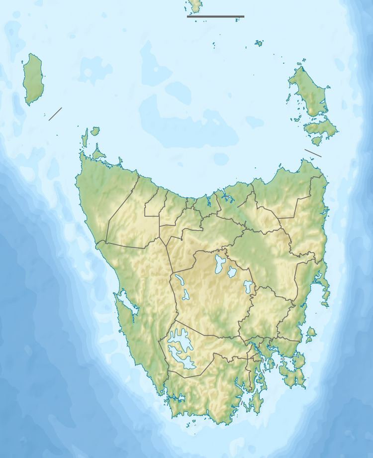
Map of Elizabeth River, Tasmania, Australia
Location and features
The Elizabeth River rises below Lake Leake and flows generally west by north through the traditional lands of the Peenrymairmemener and Tyrrernotepanner Clans of the North Midlands Nation. They called this river parndokennelyerpinder( parn-doke-en-ner-ly-er-pin-der) - the prefix parndokenne referring to the country at modern day Campbell Town. The river reaches its confluence with the Macquarie River west of Campbell Town. The river was originally known by colonials in the first decade of the 19th century as Relief Creek, but was renamed by Governor Macquarie, for his wife, when he passed through in 1811. The river descends 410 metres (1,350 ft) over its 60-kilometre (37 mi) course.
The Red Bridge crosses the Elizabeth River at Campbell Town.