
Location Doubtful Sound Width 0.4 km (0.25 mi) Population 0 Area 60 ha | Length 2.6 km (1.62 mi) Highest elevation 117 m (384 ft) Elevation 117 m | |
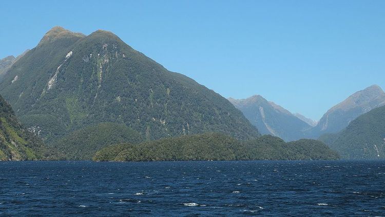 | ||
Elizabeth Island is the largest island in the inner Doubtful Sound, in Fiordland National Park, in New Zealand's South Island. It was created during the last glaciation, its narrow long shape aligned with the direction of the fiord. The island is uninhabited and entirely covered in dense native bush.
Map of Elizabeth Island, Fiordland National Park 9691, New Zealand
The island was named by Captain John Grono after his brig Elizabeth in late 1822 or early 1823.
The waters surrounding Elizabeth Island are protected by the Taipari Roa (Elizabeth Island) Marine Reserve. The western side of the island, facing the main flow of Doubtful Sound, contains extensive rock wall habitats. Off the southern end of the island are deep kelp beds. To the east of Elizabeth Island lies a shallow channel with high water flow, containing Olphert Cove and the mouth of Elizabeth River. This area is also home to black and red coral.