
Country United States Elevation 1,039 m Local time Wednesday 6:07 PM | Time zone Pacific (PST) (UTC-8) Population 14 (2000) | |
 | ||
Weather 17°C, Wind W at 6 km/h, 27% Humidity | ||
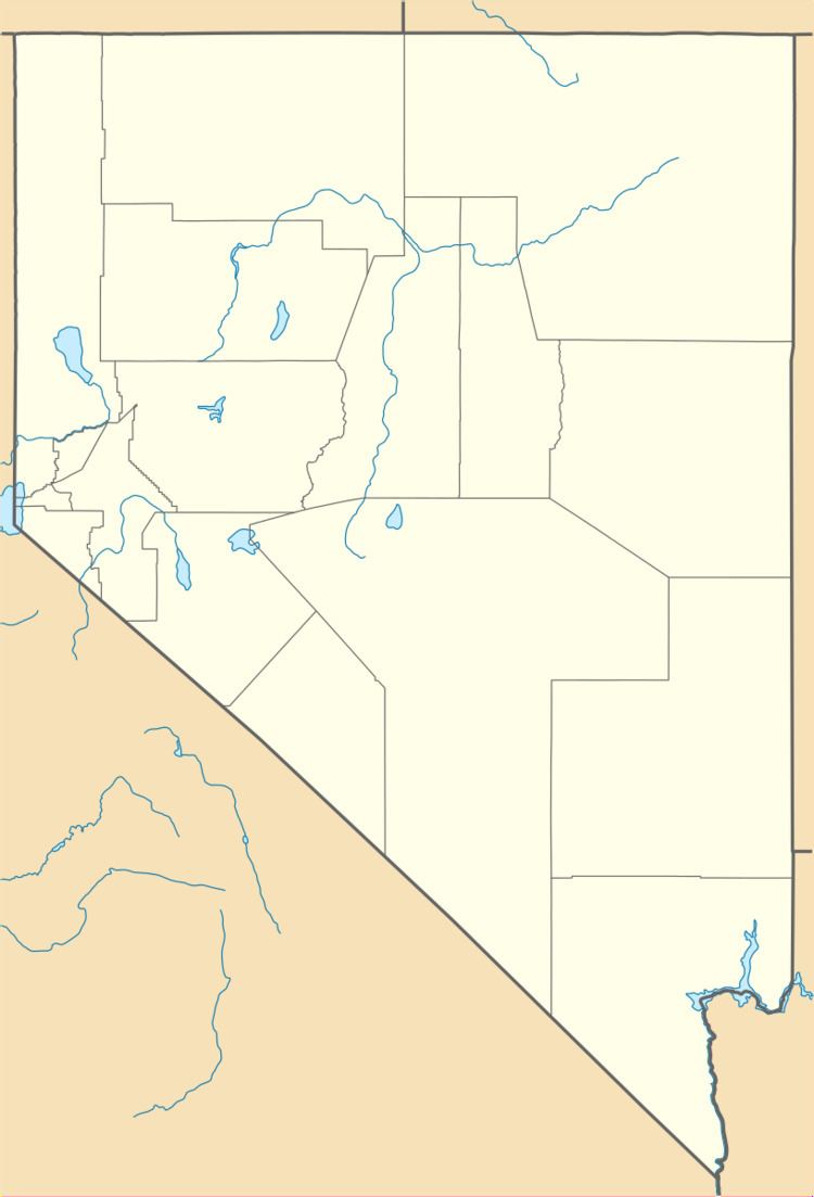
Elgin /ˈɛldʒᵻn/ is a ghost town located between Caliente and Carp, Nevada on the eastern banks of the Meadow Valley Wash off of Nevada State Route 317.
Map of Elgin, NV 89008, USA
A former railroad town, it is now the location of the Elgin Schoolhouse State Historic Site, a one-room schoolhouse museum. There is an apple orchard nearby.
As of May 2008, the State Historic Site is permanently closed due to the damage to the only road leading to the site, Nevada State Route 317, caused by flooding.
References
Elgin, Nevada Wikipedia(Text) CC BY-SA