
Country United States County Chautauqua FIPS code 20-20125 Elevation 239 m Population 87 (2013) Area code 620 | Time zone Central (CST) (UTC-6) GNIS feature ID 0469124 Area 50 ha Local time Wednesday 8:06 PM | |
 | ||
Weather 15°C, Wind S at 8 km/h, 33% Humidity | ||
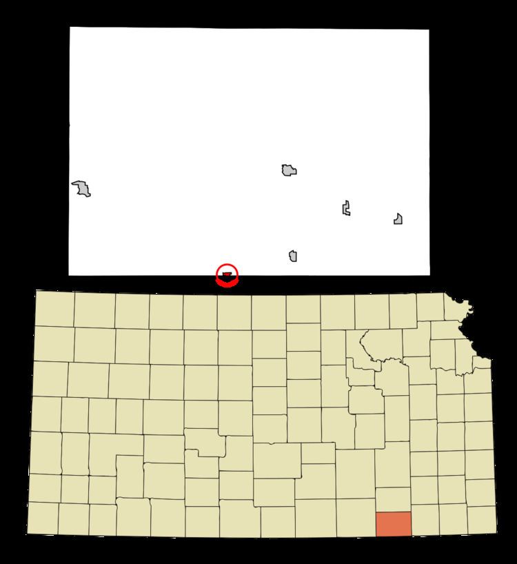
Elgin is a city in Chautauqua County, Kansas, United States, on the state line with Oklahoma. As of the 2010 census, the city population was 89. The south edge of the city is the Kansas-Oklahoma state border.
Contents
Map of Elgin, KS 67361, USA
History
Elgin was founded in 1869.
The post office in Elgin was discontinued in 1976.
Geography
Elgin is located at 37°0′6″N 96°16′51″W (37.001608, -96.280703). According to the United States Census Bureau, the city has a total area of 0.20 square miles (0.52 km2), all of it land.
2010 census
As of the census of 2010, there were 89 people, 40 households, and 24 families residing in the city. The population density was 445.0 inhabitants per square mile (171.8/km2). There were 57 housing units at an average density of 285.0 per square mile (110.0/km2). The racial makeup of the city was 88.8% White, 3.4% Native American, and 7.9% from two or more races. Hispanic or Latino of any race were 1.1% of the population.
There were 40 households of which 22.5% had children under the age of 18 living with them, 40.0% were married couples living together, 10.0% had a female householder with no husband present, 10.0% had a male householder with no wife present, and 40.0% were non-families. 37.5% of all households were made up of individuals and 20% had someone living alone who was 65 years of age or older. The average household size was 2.23 and the average family size was 2.96.
The median age in the city was 44.5 years. 15.7% of residents were under the age of 18; 10.1% were between the ages of 18 and 24; 24.7% were from 25 to 44; 29.2% were from 45 to 64; and 20.2% were 65 years of age or older. The gender makeup of the city was 53.9% male and 46.1% female.
2000 census
As of the census of 2000, there were 82 people, 44 households, and 22 families residing in the city. The population density was 441.8 people per square mile (166.6/km²). There were 54 housing units at an average density of 290.9 per square mile (109.7/km²). The racial makeup of the city was 91.46% White and 8.54% Native American.
There were 44 households out of which 18.2% had children under the age of 18 living with them, 36.4% were married couples living together, 6.8% had a female householder with no husband present, and 50.0% were non-families. 50.0% of all households were made up of individuals and 29.5% had someone living alone who was 65 years of age or older. The average household size was 1.86 and the average family size was 2.59.
In the city, the population was spread out with 22.0% under the age of 18, 3.7% from 18 to 24, 17.1% from 25 to 44, 26.8% from 45 to 64, and 30.5% who were 65 years of age or older. The median age was 52 years. For every 100 females there were 90.7 males. For every 100 females age 18 and over, there were 73.0 males.
The median income for a household in the city was $14,500, and the median income for a family was $21,563. Males had a median income of $21,250 versus $14,583 for females. The per capita income for the city was $9,993. There were 21.1% of families and 17.9% of the population living below the poverty line, including no under eighteens and 20.7% of those over 64.