
Country United States County Lake Time zone CST (UTC-6) Elevation 253 m Local time Tuesday 11:38 PM | State Illinois Established November 6, 1849 GNIS feature ID 0428944 Population 42,654 (2010) | |
 | ||
Weather 5°C, Wind SW at 18 km/h, 61% Humidity Area 92.98 km² (89.1 km² Land / 3.885 km² Water) Points of interest Paulus Park, Buffalo Creek Forest Pr, Bangs Lake, Breezewald Park, Heron Creek Forest Pr | ||
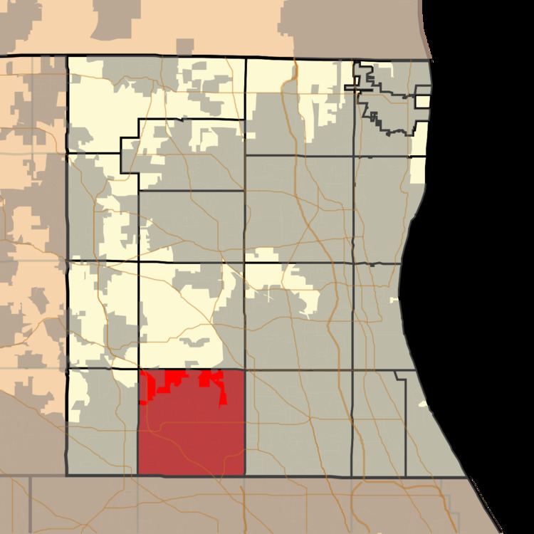
Ela Township is a township in Lake County, Illinois, USA. As of the 2010 census, its population was 42,654.
Contents
- Map of Ela Township IL USA
- History
- Geography
- Cities and towns
- Adjacent townships
- Cemeteries
- Major highways
- Airports and landing strips
- Railroad lines
- References
Map of Ela Township, IL, USA
History
Ela Township bears the name of George Ela, an Illinois legislator.
Geography
Ela Township covers an area of 35.9 square miles (93.0 km2); of this, 1.5 square miles (3.9 km2) or 4.24 percent is water. Lakes in this township include Ashley Lake, Bresen Lake, Echo Lake, Forest Lake, Lake Germaine, Lake Louise, Lake Zurich and Leo Lake.
Cities and towns
The United States Census data from the year 2000 shows Arlington Heights, primarily in Cook County, extending slightly into the southeast corner of Ela Township (covering 0.00 sq mi), as well as the southwest corner of Vernon Township (covering 0.01 sq mi) directly to the east of Ela. However, the Lake County GIS shows an even smaller extension into Vernon Township and none into Ela.
Adjacent townships
Cemeteries
The township contains three cemeteries: Fairfield, Lake Zurich and Saint Matthew Lutheran.