
Elevation 43 m Local time Tuesday 7:29 PM | Population 1,704 (2010) Municipality Ensenada Municipality | |
 | ||
Time zone Northwest US Pacific (UTC-8) Weather 20°C, Wind N at 6 km/h, 49% Humidity | ||
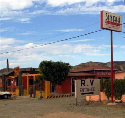
El Rosario is a small town on the west coast of the state of Baja California on Highway 1, 61 km south of San Quintín and 119 km north of Cataviña. The census of 2010 reported a population of 1,704 inhabitants. It is part of the Municipio of Ensenada.
Contents
Map of El Rosario, Baja California, Mexico
The town is most well known as the home of Mama Espinosa, the purveyor of Mama Espinosa's restaruant. It is also a stop on the Baja 1000.
The town is primarily agricultural, with the major crop being onions. There are several nearby fishing camps at Punta Baja and Isla San Jerónimo.
There are several markets in El Rosario ranging from mini markets and meat markets to traditional markets & Liquor stores.
Bocana Beach is located approximately 5 miles west of El Rosario through the Arroyo and over the dunes.