Country United States Time zone CST (UTC-6) Local time Tuesday 8:33 PM | Established September, 1861 Area 62.76 km² Population 3,459 (2010) | |
 | ||
Weather 6°C, Wind SW at 16 km/h, 59% Humidity | ||
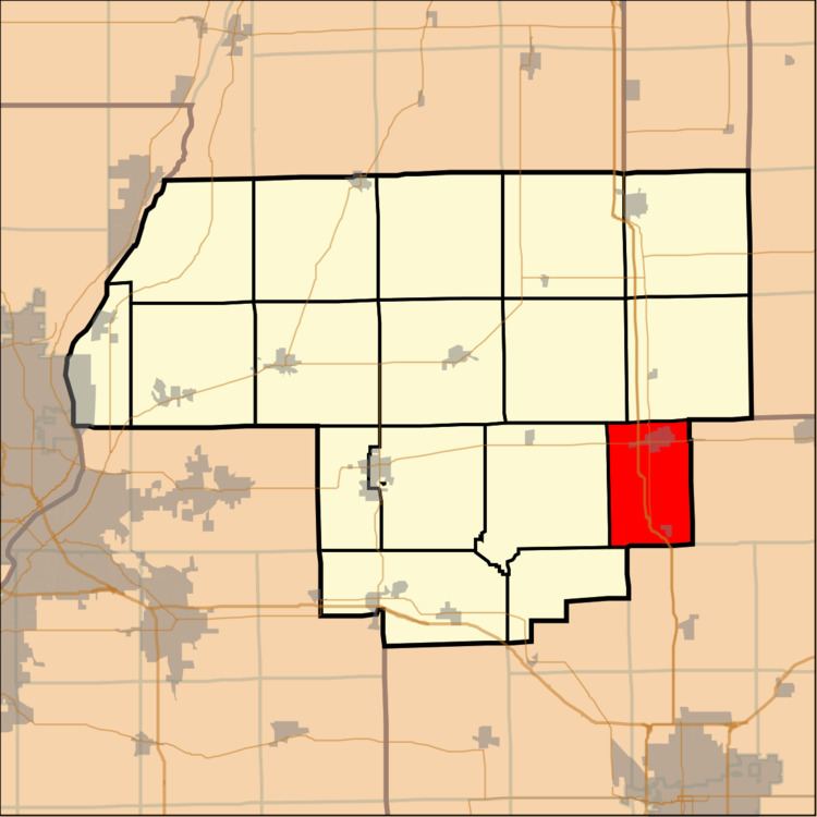
El Paso Township is located in Woodford County, Illinois. As of the 2010 census, its population was 3,459 and it contained 1,387 housing units. El Paso Township formed from Palestine Township in September, 1861. El Paso is located at 40°44'20" North, 89°0'58" West (40.738800, -89.016034).
Contents
Map of El Paso Township, IL 61738, USA
The largest named community in El Paso Township is the city of El Paso, Illinois.
Geography
According to the 2010 census, the township has a total area of 24.23 square miles (62.8 km2), of which 24.22 square miles (62.7 km2) (or 99.96%) is land and 0.01 square miles (0.026 km2) (or 0.04%) is water.
References
El Paso Township, Woodford County, Illinois Wikipedia(Text) CC BY-SA
