
Country United States Elevation 392 m Local time Tuesday 5:47 PM | GNIS feature ID 0474388 Area 141.8 km² Population 1,700 (2000) | |
 | ||
Weather 17°C, Wind W at 26 km/h, 6% Humidity | ||
El Dorado Township is a township in Butler County, Kansas, USA. As of the 2000 census, its population was 1,700.
Contents
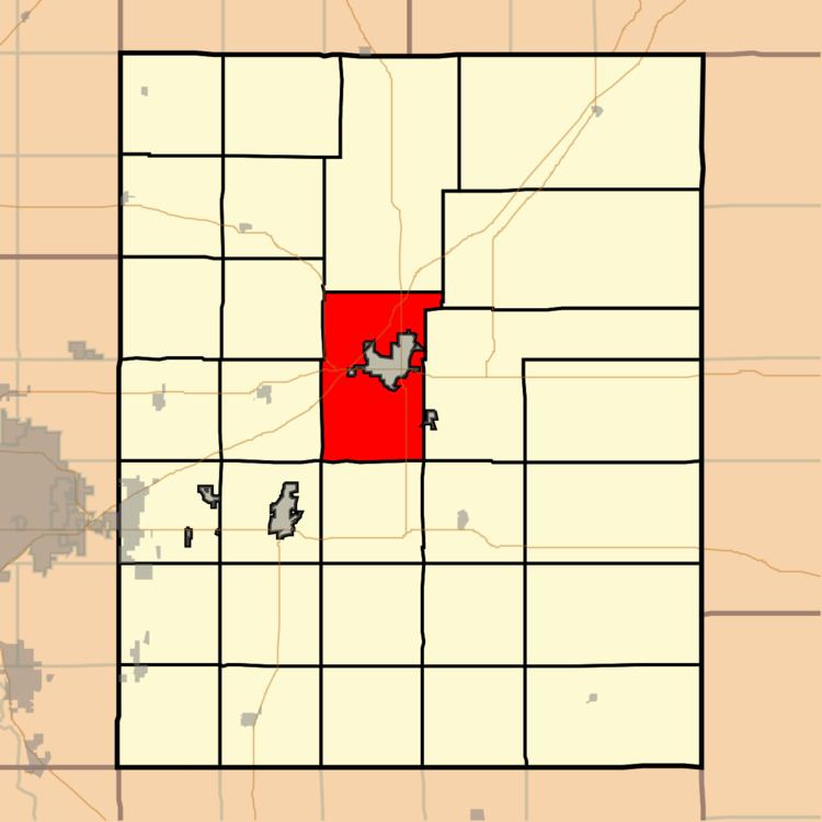
Map of El Dorado, KS, USA
Geography
El Dorado Township covers an area of 54.74 square miles (141.8 km2) and contains one incorporated settlement, El Dorado (the county seat). According to the USGS, it contains three cemeteries: Belle Vista, Sunset Lawns and Walnut Valley Memorial Park.
The streams of Constant Creek, Sutton Creek and West Branch Walnut River run through this township.
Transportation
El Dorado Township contains one airport or landing strip, El Dorado Municipal Airport.
References
El Dorado Township, Butler County, Kansas Wikipedia(Text) CC BY-SA