
Elevation 781 m (2,562 ft) | ||
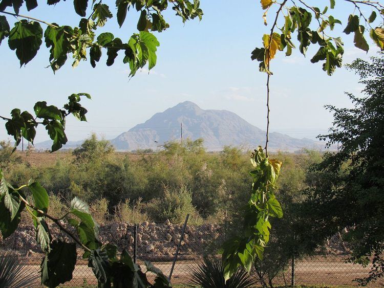 | ||
Parent range Cocopah mountains (sierra cucapá) | ||
Mount Signal is a mountain 20 km (12 mi) west of Mexicali, Baja California, Mexico, on Mexican Federal Highway 2. The peak is also known as "Weeishpa" by the native community Kumiai or "Cerro del Centinela" or simply: El Centinela (the sentinel) by the mexicans. The northern slope of the mountain begins at the international border between Mexico and the United States, the south side is bordered by Federal Highway 2. It has an elevation of about 781 meter and is the northernmost peak of the Cocopah mountain range or sierra cucapá.
Map of Cerro Centinela, Baja California, Mexico
Mount Signal was used by both native and pioneer explorers of the region, to guide them through the desert. The mountain is on the shield of the town of Mexicali and on the shield of Imperial County, California but each from their own perspective. The song Puro Cachanilla also mentions this mountain.