
Country United States GNIS feature ID 2584627 Area 7 ha Zip code 78582 | State Texas Elevation 7 cm Population 188 (2010) | |
 | ||
Time zone Central (CST): UTC-6 (UTC-6) | ||
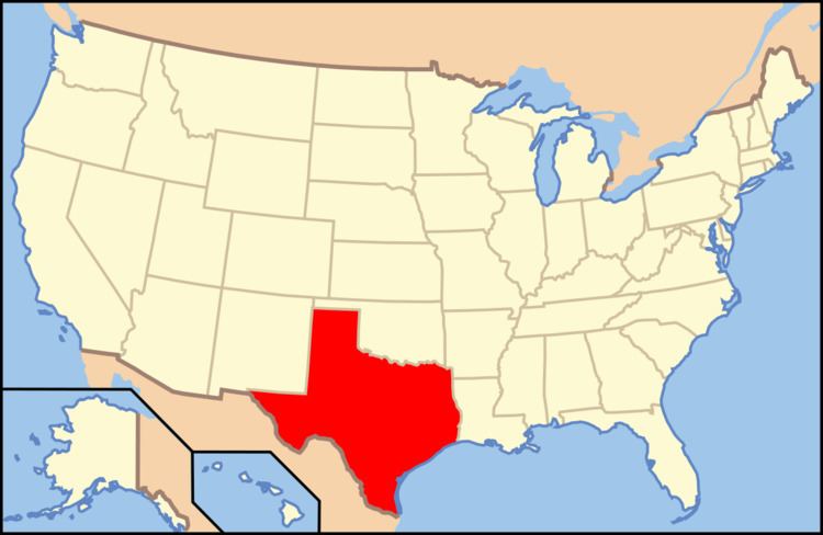
El Castillo (in Spanish: Castle) is a Census-designated place located in Starr County, Texas. It is a new CDP formed from part of the old La Victoria CDP for the 2010 census with a population of 188.
Contents
Geography
El Castillo is located at 26°20′6″N 98°38′19″W (26.334926, -98.638659). According to the United States Census Bureau, El Castillo has a total area of 0.07 km², of which 0.07 km² is land and (0%) 0r km² is water.
Demographics
According to the 2010 US Census, there were 188 people residing in El Castillo. The density was 2.592,4 inhabitants / km². Populated for 188 inhabitants, El Castillo was composed of the 76.06% white, the 22.87% of other races and the 1.06% belonged to two or more races. Of the total population, 100% were Hispanic and Latino of any race.
References
El Castillo, Texas Wikipedia(Text) CC BY-SA