
Gaelic name Eilean Mhuire Highest elevation 90 m | OS grid reference NG432985 Area 30 ha Council area Comhairle nan Eilean Siar | |
 | ||
Meaning of name Gaelic for "Virgin Mary's island". | ||
Eilean Mhuire (meaning "Virgin Mary's island") is the most easterly of the Shiant Islands in the Outer Hebrides.
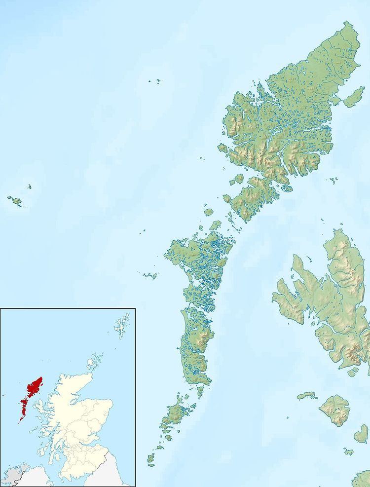
Map of Eilean Mhuire, United Kingdom
Once populated Eilean Mhuire is now used only for grazing sheep. There are various ruins on the island and the Ordnance Survey mark the remains of "St. Mary's Chapel" on the western side of the island, having been informed in 1851 that the island was a priest's refuge "in the time of Knox". There is certainly a local tradition of the existence of such a building, although Nicolson (2002) believes this to be mistaken and speculates that Eilean Mhuire may have been a pre-Norse hermitage. (There was however a chapel possibly devoted to the Virgin Mary on nearby Eilean an Taighe.)
Writing in 1549, Donald Monro, Dean of the Isles stated of Eilean Mhuire that it was:
callit Senchastle by the Eriche, that is the alde castle ile in the Englishe, an strenthe, full of corne and grassinge, full of wyld fowls nests, and verey guid for fishing. It perteins to M’Cloyd of the Lewis.
Today, Seann Chaisteal (old castle) is the name of the flat-topped tidal islet at the south eastern extremity of Eilean Mhuire. This is a "large tidal rock on which there never was a building of any kind", and the name may come from the rock's appearance.