
Gaelic name Eilean Mòr OS grid reference NG695343 | Meaning of name big island Area rank 118 Area 170 ha Lieutenancy area Highland | |
 | ||
Highest elevation Meall a' Chòis 114 m (374 ft) Island groups British Isles, Inner Hebrides | ||
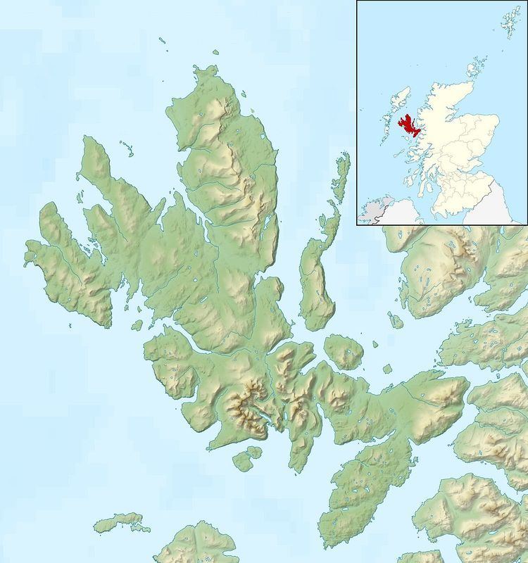
Eilean Mòr is the largest of the Crowlin Islands in the Inner Sound off the Isle of Skye, Scotland.
Map of Eilean M%C3%B2r, United Kingdom
Eilean Mòr is situated at the mouth of Loch Carron, off the south coast of Applecross in Wester Ross. It is connected to the adjacent Eilean Meadhonach at low tide.
Excavations on Eilean Mòr have shown evidence of human settlement in Mesolithic times 8,000 years ago. Ruined cottages can be seen in the north-east corner, near Camas na h-Annait (Scottish Gaelic: church bay). In the middle of the nineteenth century tenants were cleared from Applecross to make way for sheep. A group of families unwilling to take passage from Scotland to far-off lands were settled on Crowlin Mòr (Eilean Mòr), to make what living they could by fishing and farming. From about 1810 to 1920 Eilean Mòr was home to several families. In the course of time, the families slipped back to Applecross and the island has been uninhabited since about 1920.