
Gaelic name Eilean Hoan OS grid reference NC444673 Highest elevation 24 m Area 28 ha | Meaning of name haven island Island group Outlier Council area Highland | |
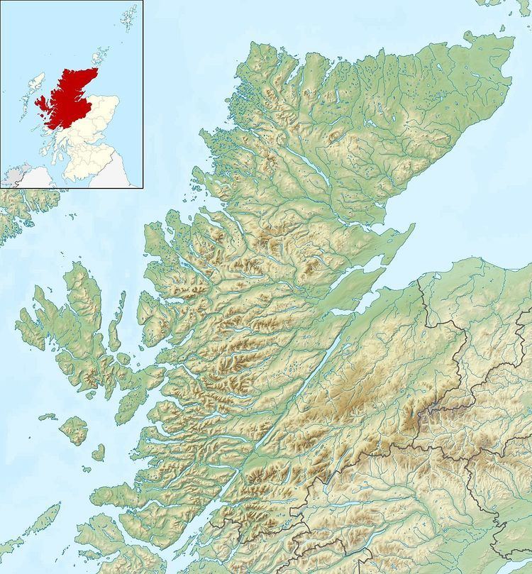 | ||
Eilean Hoan is an island in Loch Eriboll in Sutherland on the north coast of Scotland. It is about 28 hectares (69 acres) in extent and the highest point is 25 metres (82 ft) above sea level. Its name is of Gaelic and Old Norse derivation and means "haven island".
Map of Eilean Hoan, United Kingdom
The island was last inhabited in the early 19th century and the Ordnance Survey indicate the presence of a ruined croft. It is now a nature reserve. Eilean Hoan is located at the northern, seaward end of the loch and there are various small islets in the vicinity including A' Ghoil-sgeir, An Cruachan, An Dubh-sgeir, Eilean Clùimhrig, and Pocan Smoo.
Further south, and deeper into the loch is Eilean Choraidh.
References
Eilean Hoan Wikipedia(Text) CC BY-SA