
Country United States FIPS code 05-20920 Elevation 76 m Zip code 72427 Population 112 (2013) | Time zone Central (CST) (UTC-6) GNIS feature ID 0057707 Area 90 ha Local time Tuesday 3:42 PM Area code 870 | |
 | ||
Weather 16°C, Wind NW at 27 km/h, 30% Humidity | ||
Egypt is a town in Craighead County, Arkansas, United States. The population was 112 at the 2010 census. It is included in the Jonesboro, Arkansas Metropolitan Statistical Area.
Contents
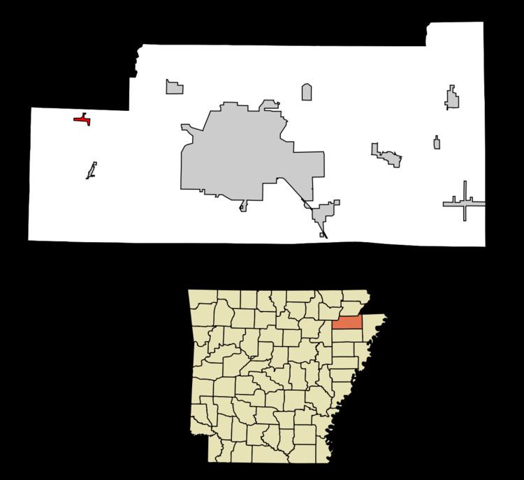
Map of Egypt, AR, USA
Geography
Egypt is located in western Craighead County at 35°52′3″N 90°56′43″W (35.867472, -90.945372).
According to the United States Census Bureau, the town has a total area of 0.35 square miles (0.9 km2), all land.
Only one highway runs through the small community, Arkansas Highway 91, which intersects Craighead County Road 192 at the center of town.
Demographics
As of the census of 2000, there were 101 people, 43 households, and 28 families residing in the town. The population density was 274.5 inhabitants per square mile (105.4/km²). There were 51 housing units at an average density of 138.6 per square mile (53.2/km²). The racial makeup of the town was 97.03% White, and 2.97% from two or more races. 0.99% of the population were Hispanic or Latino of any race.
There were 43 households out of which 23.3% had children under the age of 18 living with them, 48.8% were married couples living together, 16.3% had a female householder with no husband present, and 32.6% were non-families. 30.2% of all households were made up of individuals and 20.9% had someone living alone who was 65 years of age or older. The average household size was 2.35 and the average family size was 2.90.
In the town, the population was spread out with 24.8% under the age of 18, 7.9% from 18 to 24, 19.8% from 25 to 44, 19.8% from 45 to 64, and 27.7% who were 65 years of age or older. The median age was 43 years. For every 100 females there were 71.2 males. For every 100 females age 18 and over, there were 76.7 males.
The median income for a household in the town was $18,750, and the median income for a family was $24,063. Males had a median income of $19,583 versus $16,250 for females. The per capita income for the town was $9,828. There were 22.6% of families and 29.9% of the population living below the poverty line, including 55.6% of under eighteens and 13.8% of those over 64.
Education
Egypt residents are served by the Westside Consolidated School District. The district opened in 1966.