
 | ||
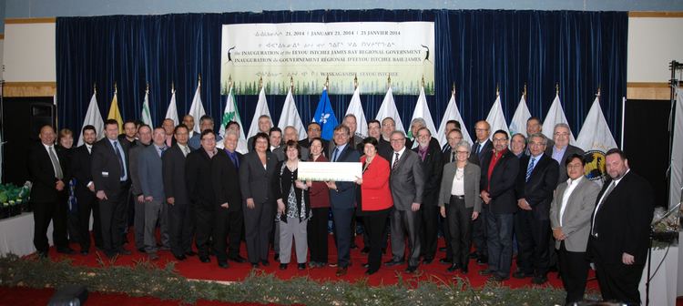
Eeyou Istchee (Cree: ᐃᔨᔨᐤ ᐊᔅᒌ, meaning "The People's Land") was a territory equivalent to a regional county municipality (TE) of Quebec, represented by the Grand Council of the Crees. On July 24, 2012, the Quebec government signed an accord with the Cree Nation that result in the abolition of the neighboring municipality of Baie-James and the creation of a new regional government known as Eeyou Istchee James Bay Territory.
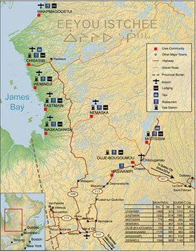
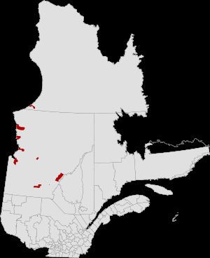
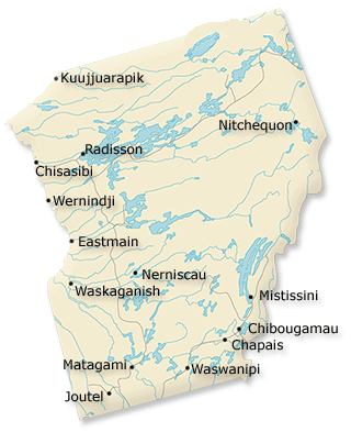
The total land area of these communities was 5,586.23 km2 (2,156.86 sq mi). As defined by the Grand Council of the Crees, however, the territory of Eeyou Istchee was a much larger contiguous traditional territory and homeland, comprising about 450,000 square kilometres (170,000 sq mi). There was a combined population of 14,131 persons as of the Canada 2006 Census. Its largest community was Chisasibi, on the south bank of La Grande River, near the northeast shore of James Bay.
Eeyou Istchee TE was created on November 30, 2007. Its territory had previously belonged to the TE of Jamésie. Eeyou Istchee encompassed in particular the Cree reserved land (TC) of Whapmagoostui and the Cree village municipality (VC) of the same name. These are the only municipalities in Quebec lying north of the 55th parallel north (that is, in Nunavik) but not belonging to Kativik TE.
Together with the TEs of Jamésie and Kativik, it formed the region and census division (CD) of Nord-du-Québec.
The TE of Eeyou Istchee is coextensive with the territory of the Cree Regional Authority. It consists of the following municipal units:

Somewhat confusingly, the Commission de toponymie du Québec refers to the Cree reserved lands as "Cree villages" (village cri), as distinct from the "Cree village municipalities" (municipalité de village cri). However, from a practical point of view this makes sense, since the population resides in these reserved lands. Oujé-Bougoumou can also be considered a Cree village, although its formal legal status is that of an Indian settlement.
Definitions
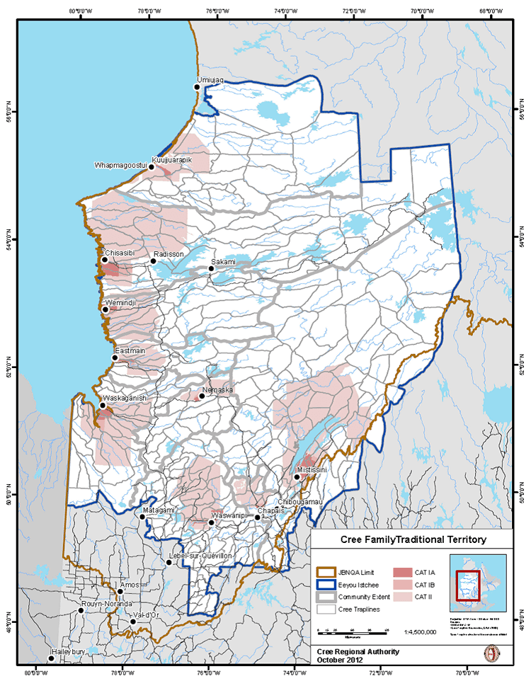
The above map indicates the Category I lands reserved for the Cree under the terms of the James Bay and Northern Quebec Agreement. Though formally designated as a TE for these areas in 2007, the term "Eeyou Istchee" has long been applied by Quebec Cree to refer to themselves and all their traditional hunting lands. In Category II lands, owned by the Crown-in-right-of-Quebec, hunting, fishing and trapping rights are reserved for the Cree, while forestry, mining and tourism development authority is shared. In Category III lands, some specific hunting and harvesting rights are reserved for the Cree, but all other rights are shared subject to a joint regulatory scheme. Roughly 14,000 km2 fall into Category I, 150,000 km2 in Category II, and 908,000 km2 - almost 60 percent all land in Quebec - are in Category III.