
Local time Tuesday 6:07 PM Area code 0413 | Time zone CET (UTC+1) Postcode 5460 Population 1,050 (2015) Municipality Veghel | |
 | ||
Weather 8°C, Wind W at 13 km/h, 74% Humidity | ||
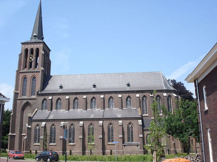
Eerde is a village in the Dutch province of North Brabant. It is part of the municipality of Veghel, located about 500 m west of the built-up area of Veghel and 3 km southwest of the town centre of Veghel. During Operation Market Garden, in September 1944, it changed hands several times between German and American forces but ended up in American hands; the village was severely damaged in the process.
Map of Eerde, Netherlands
References
Eerde Wikipedia(Text) CC BY-SA