
Country Canada Founded 1875 Local time Tuesday 12:53 PM Area code 506 | County Restigouche Incorporated November 9, 1966 Population 1,209 (2011) | |
 | ||
Weather -6°C, Wind NE at 10 km/h, 70% Humidity | ||
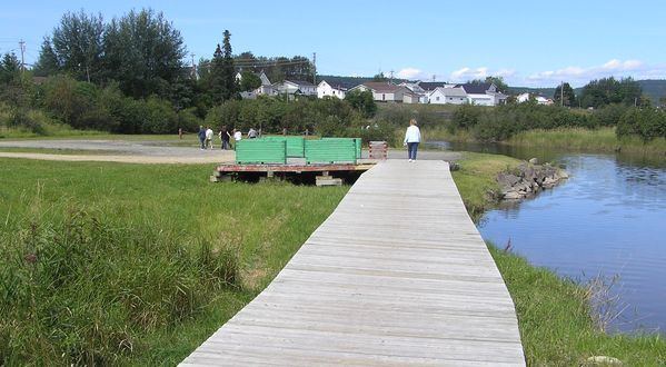
Eel River Crossing (2011 population: 1,209) is a Canadian village in Restigouche County, New Brunswick.
Contents
Map of Eel River Crossing, NB, Canada
It is the administrative headquarters of the Eel River Bar Mi'kmaq First Nation band government.
in Mi'kmaq, Eel River was known as Okpĕgŭnchĭk which meant "discolored foam on the water".
History
Usually simplified to simply Eel River, the village is situated on the Eel River. It received the name "Crossing" after the Intercolonial Railway built its Halifax-Rivière-du-Loup main line through the community in 1875.
Trivia
References
Eel River Crossing, New Brunswick Wikipedia(Text) CC BY-SA