
 | ||
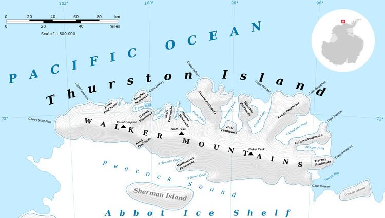
Edwards Peninsula is an ice-covered peninsula about 20 nautical miles (40 km) long, between Murphy Inlet and Koether Inlet on the north side of Thurston Island. It was delineated from aerial photographs made by U.S. Navy Operation Highjump in December 1946 and by U.S. Navy Squadron VX-6 in January 1960, and was named by the Advisory Committee on Antarctic Names for Lieutenant Donald L. Edwards, the navigator of the USS Burton Island on the U.S. Navy Bellingshausen Sea Expedition to this area in February 1960.
Maps
References
Edwards Peninsula Wikipedia(Text) CC BY-SA