
Local time Saturday 12:11 PM | ||
 | ||
Weather 11°C, Wind S at 18 km/h, 91% Humidity | ||
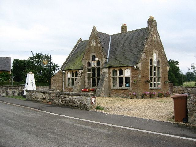
Edmondthorpe is a small village in Leicestershire, close to the border with Rutland. The population of the village is included in the civil parish of Wymondham. It has Danish origins.
Map of Edmondthorpe, Melton Mowbray, UK
The name Edmondthorpe is derived from a corrupted form of the Old English personal name 'Eadmer', in old records spelled variously, Edmersthorp (Domesday Book); Thorp Edmer; Thorp Emeri; Thorp Edmeer; Edmerthorp; or Thorp. The most likely origination of the name could be from the Saxon: ED = East; MUND = mound or barrier; THORPE = a street or village.
The Church of St Michael and All Angels, maintained by The Churches Conservation Trust, is situated in the centre of the surrounding farms and cottages, close to the ruins of Edmondthorpe Hall. Although in former times a number of households from the neighbouring village of Wymondham "parished" to Edmondthorpe, St Michael and All Angels' Church now holds services on special occasions, only. There is a canonical sundial on the south wall. The church holds the tomb of Sir Roger Smith, which includes decorative alabaster figures. A fault in the alabaster of the Smith monument helped give rise to the Edmondthorpe Witch Legend. The legend tells that Lady Ann Smith was a witch who could turn herself into a cat. While a cat, she was wounded in the paw by her butler, and the injury remained on her hand when she became human again.
During the Second World War the Hall (built by Sir Roger Smith in 1621) was used as a prisoner of war camp for Italian personnel, but was destroyed by fire in 1943. Buildings from the 19th century stable block, which was designed by R. W. Johnson in 1869, remain. An avenue of mature trees leads from South Lodge (formerly West Lodge) to the Hall through the park on the southern edge of the village.
From the road near South Lodge a set of bee boles, used for keeping bees before the advent of modern hives, may be seen in the wall to the left of the church.
An embanked section of the disused Melton to Oakham Canal lies to the west of the village and loops under the road between Edmondthorpe and Teigh.
There are several families that have lived in Edmondthorpe over many centuries. These include the Veaseys and Extons, which are detailed in the Census transcripts for the village.